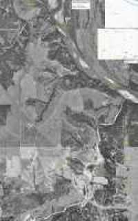
Aerial Maps of Red River Cycle Trails

courtesy of ye olde gothic commando
map.jpg
JPEG map
3178x5096
4.6 megabytes
map.zip
BITMAP map as zipfile
3178 x 5096
17.136 megabyte download
47.457 megabytes unzipped on your disk
(for use plotting your own points on your computer)

Information:
  • Printing this map to a single 8.5"x11" sheet will render it unreadable because the details will be too small to see, and probably too small for your printer to deal with anyway.
  • Print to multiple sheets and cut/tape them together, or use a plotter. Kinko's may be able to print/plot it for you.
  • 300DPI on this map is equivalent to 10.6"x17"
  • It is reccommended to print the map 24" wide (or more) for 'good' results. 36" wide takes full advantage of the map.